Route Databases
Searchable archives of treks sorted by region, difficulty, and duration.
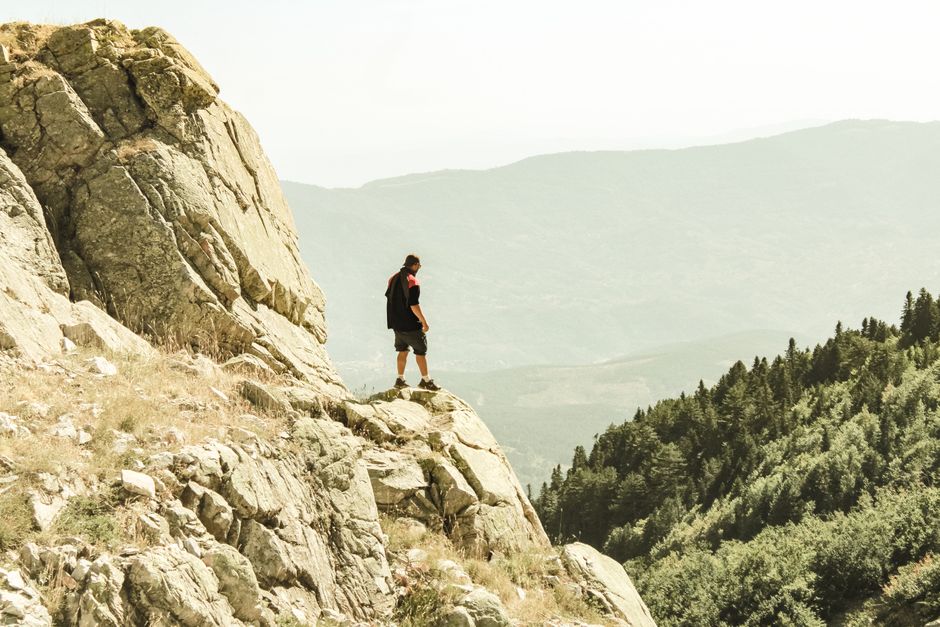
A resource for trekkers and mountaineers seeking reliable information about Turkish alpine routes, equipment considerations, and visual documentation of trails across the Taurus, Kaçkar, and Aladağlar ranges.
Browse Route ArchivesTurkish Peaks is a structured information platform designed for travelers and climbers who want to explore mountain regions in Turkey. Our content includes detailed descriptions of trekking paths, elevation profiles, seasonal weather patterns, and practical notes on equipment selection. We compile data from multiple sources and present it in a clear, comparative format. Each article aims to provide context for route difficulty, access logistics, and terrain characteristics. Photographs and annotated maps supplement the written material to help readers form a realistic picture of the environment. The platform is built around process-oriented information rather than personal impressions, focusing on factual details that can assist in trip planning.
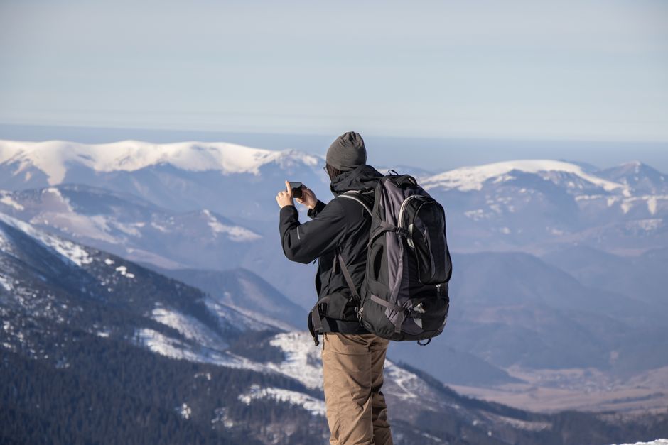
Turkey's mountain ranges offer a variety of altitudes, rock types, and climatic zones. The Taurus Mountains feature limestone karst formations with steep canyons, while the Kaçkar range presents volcanic peaks and alpine meadows. Aladağlar is known for its granite ridges and glacial lakes. Each region requires different navigation strategies and gear configurations. Our articles break down these elements by examining topographical maps, historical weather data, and trail reports. We also discuss approaches to altitude adaptation and water sourcing. The goal is to provide a framework that allows readers to evaluate routes based on their own experience level and physical condition. External factors such as seasonal road access and permit requirements are also covered.
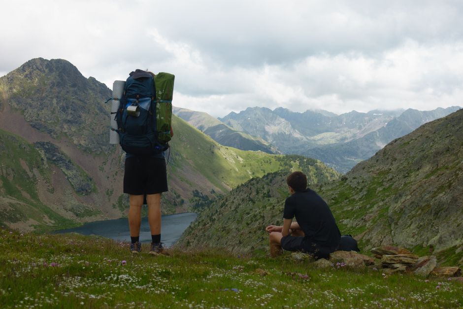
Searchable archives of treks sorted by region, difficulty, and duration.
Explanations of map reading, GPS usage, and landmark identification.
Comparative tables of equipment suitable for different mountain environments.
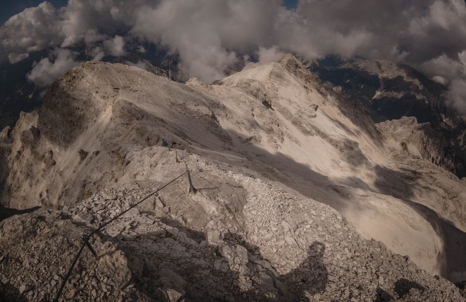
Visual records of trails, campsites, and key waypoints for context.
Turkish Peaks helped me choose a suitable route in Kaçkar. The elevation profiles and water source notes were exactly what I needed for planning.
The gear comparison articles saved me from buying unnecessary equipment. Practical advice based on real conditions, not marketing fluff.
I used the Aladağlar guide for a solo trek. The detailed trail descriptions and photo references made navigation straightforward.
Turkish Peaks operates on a principle of structured information delivery. Each article follows a consistent format: route overview, access details, terrain analysis, required permits, and suggested gear. We avoid subjective ratings and instead present objective data such as altitude gain, distance, average gradient, and estimated time under normal conditions. Photographs are annotated with waymark coordinates. We update content periodically based on new trail reports and changes in local regulations. The platform does not provide guided services or logistical arrangements; it is purely a reference for independent travelers. Our team consists of contributors with backgrounds in outdoor education and geographical research.
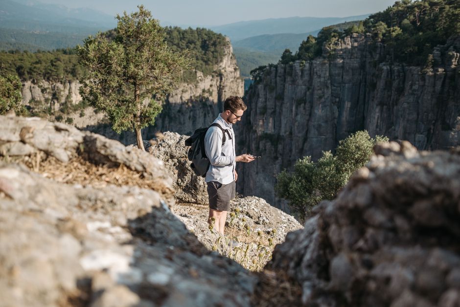
Preparation for mountain travel in Turkey involves understanding both the natural environment and administrative requirements. Permits are needed for certain national parks and high-altitude zones. Weather patterns vary significantly between coastal ranges and interior plateaus. The hiking season typically runs from May to October in most regions, but snow conditions can persist longer at altitude. Water availability depends on spring melt and seasonal streams. Our articles outline these factors systematically. Readers are encouraged to cross-reference multiple sources and to consider their own fitness and acclimatization levels. Turkish Peaks provides a starting point for research, not a substitute for professional guidance or personal judgment.
Browse by mountain range or national park.
Read detailed descriptions and elevation profiles.
Check equipment recommendations for the terrain.
Use maps and photos to plan your itinerary.
Access to accurate, structured information can help travelers make informed decisions. Turkish Peaks organizes data into categories that allow comparison and evaluation. We do not claim that any route is safe or suitable for all individuals. Conditions change rapidly in mountain environments, and each person must assess risks based on their own abilities and circumstances. Our content is a tool for preparation, not a guarantee of outcomes. External factors such as weather, trail maintenance, and personal health play a significant role in the experience. We encourage readers to supplement our material with official sources and local knowledge.
Turkish Peaks maintains a policy of transparency regarding its sources and methodologies. Route descriptions are based on publicly available topographic data, satellite imagery, and verified user reports. We indicate the date of last review for each article. Any sponsored content or affiliate links are clearly marked. We do not accept payment for positive coverage of places or products. Our aim is to provide a neutral reference point within the broader community of mountain enthusiasts. The platform is regularly audited for accuracy, and corrections are published promptly. Readers are invited to submit feedback or corrections through the contact form.
Aggregate from topographic maps and satellite sources.
Cross-check with recent trip reports and local contacts.
Organize into consistent sections for easy comparison.
Refresh based on seasonal changes and new information.
Turkish Peaks serves as a bridge between individual explorers and the collective knowledge of the trekking community. We encourage readers to share their own observations and corrections to help improve the database. User-contributed route notes and photographs can be submitted for consideration. The platform does not host forums but provides a channel for verified updates. This collaborative approach helps maintain a high standard of accuracy. We believe that informed preparation contributes to safer and more enjoyable mountain experiences. The website is a resource, not a replacement for personal responsibility or professional instruction.
Mountain travel involves more than reaching a peak. It includes understanding the local ecology, cultural contexts of alpine villages, and the history of mountaineering in the region. Turkish Peaks occasionally features articles on these topics to provide background that enriches the hiking experience. We examine topics such as traditional shepherding routes, the impact of tourism on fragile environments, and the evolution of trail infrastructure. These pieces are meant to complement the practical route guides. They offer a wider lens through which to view the mountains, without diverting from the core informational purpose of the blog.
Every route article follows the same structure for easy comparison.
Data origins are clearly cited with dates and methods.
Content is refreshed as new trail reports become available.
Depth of coverage on Turkish mountains rather than broad generalizations.
Have a question about a specific route or want to share your own experience? Use the form below to send us a message. We review all submissions but may not respond individually.